We add a null label ![]() on the map to model the missing cartographic data.
on the map to model the missing cartographic data.
This label is located within a constant distance d, w.r.t. all the nodes.
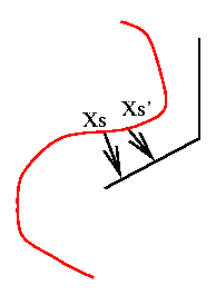
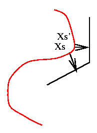
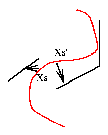
The potentials w.r.t. order 2 cliques yield homogeneity
constraints:

 |
 |
 |
|
|
|
|
![]()
The potentials w.r.t. order 1 cliques represent the data attachment term:
Distance between the pixel and the label (cartographic segment)
The energy defined by the sum over all the potentials
is minimised using simulated annealing with a Metropolis dynamics.