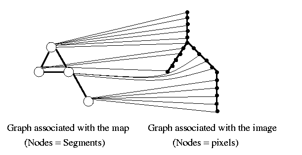
The first labelling consists in giving to each road pixel of the image a label corresponding to a segment of the map. Indeed, the roads in the image consist of pixels whereas roads are defined by segments on the map (generalised representation of the ground truth).
-> matching 0D-1D
Two methods are possible:
faster one: a pixel is matched to the closest map segment.
slower one: Markov model
-> more homogeneous labelling