Next:Real data  Up:Graph matching Previous:Registration of satellite data


Results

This page shows the different steps of the treatment.
Herein the cartographic data are simulated by a polygonalization of the image network followed by a translation.
 
 
Studied data: 
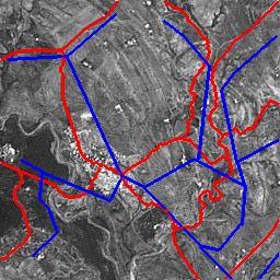
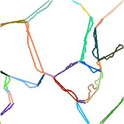
      roads extracted from the image in red,
      roads of the map in blue.
Segmentation of pixel chains.
Result of the matching
Result qualification 
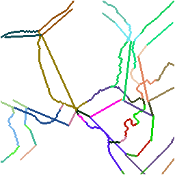
(green: non valid matches;
    red: non matched chains (null label))
Result of the matching 
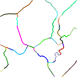
after the registration obtained from
the valid segments of the first iteration.
Results qualification of the matching
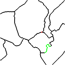
      after 2 iterations for the image network 
(green: non valid match
red: non matched chain).
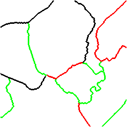
The green chain has been considered non valid
because of the too strong generalization.


Christine Hivernat & Xavier Descombes

November 1998