Digital Elevation Models
Usually, DEMs are built from aerial images.
The data used in this work has been provided by French Mapping Institute
(IGN).
To built a DEM, one requires two (or more) images of a scene. Knowing
the position of the cameras that have taken these images, it is
possible to built an image of the height of the scene, as does the brain
with the two images taken by the two eyes to built a 3D representation of
the environment.
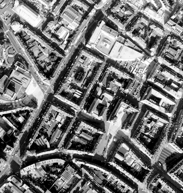
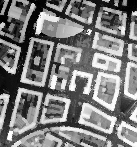
Figure a) shows two aerial images of the French town of
Amiens. With images of this type, the French Mapping
Institute (IGN) has built the DEM shown on figure b). On this DEM,
white pixels represent high points, while black ones stand for low
points.
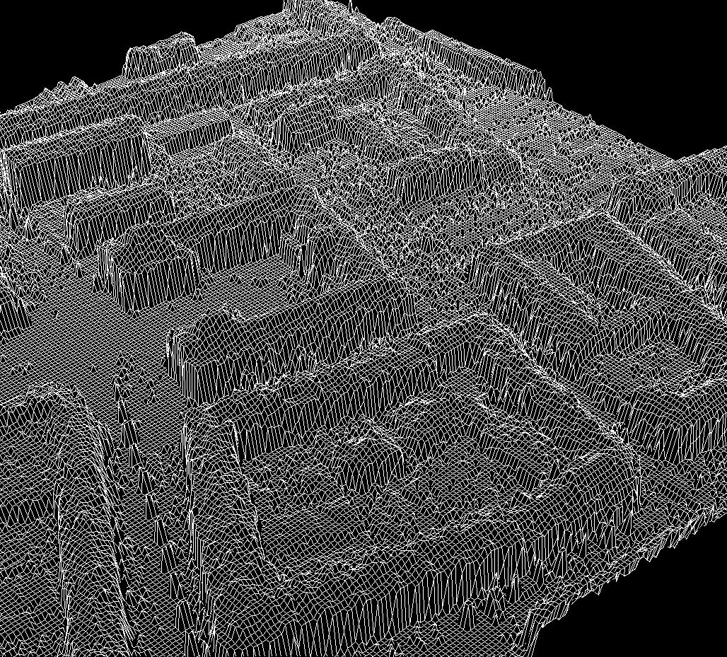
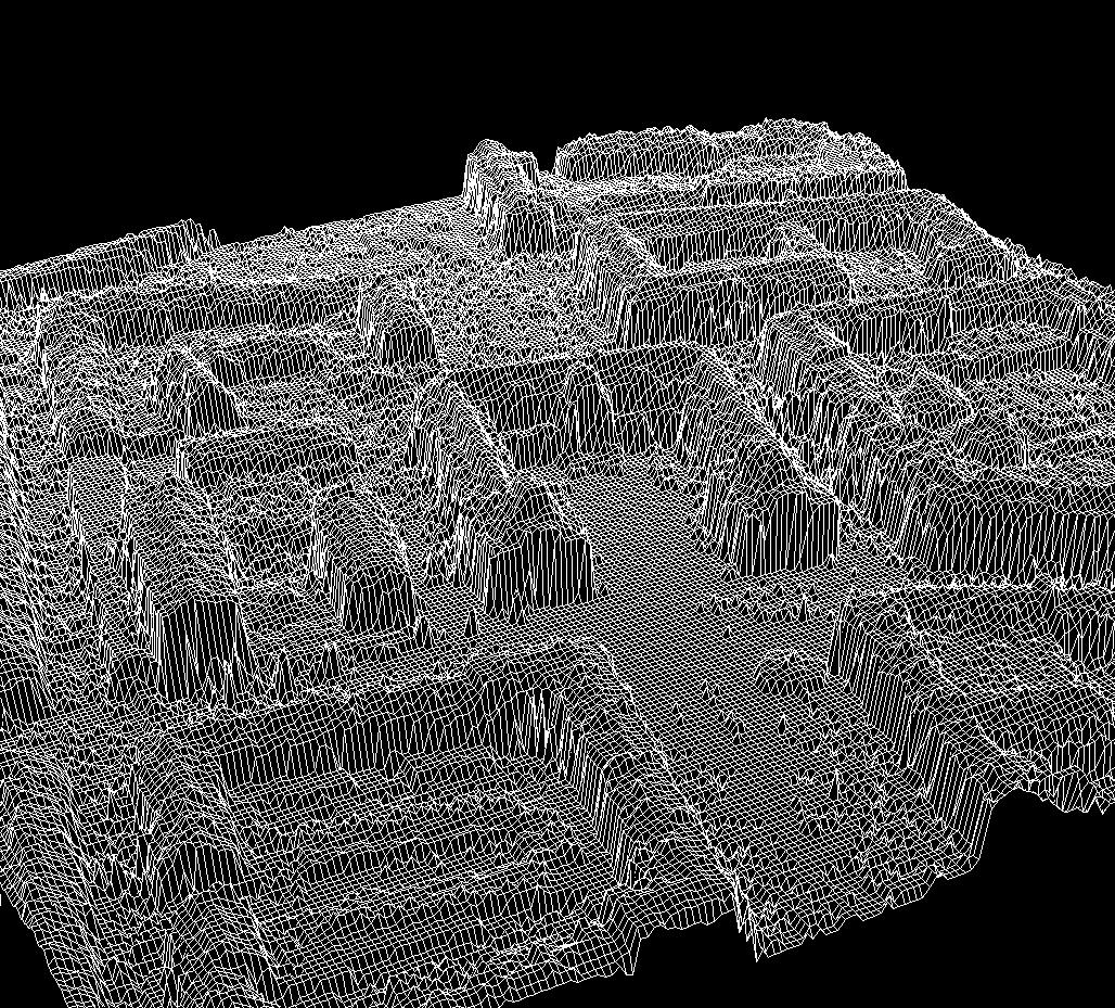
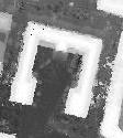
The DEM is of medium resolution (20 cm by 20 cm in the horizontal
directions, and 15
cm vertically). Figure c) shows this DEM in 3 dimensions, under
several points of views.
Comments
The noise we are interressed to deal with, is not a usual image processing noise,
due to the algorithms used to construct the DEM.
Mainly, it is a geometrical noise (presence of trees, cars).
Other problems come from the density of the urban area. Some buildings are
not visible on one of the images due to occlusions. Thus, for this
kind of buildings, it is impossible to construct a 3D representation
since some information is missing. This is known as the occlusion
phenomena.
|
|
Remark about the figures : presented images were obtained by
cropping. By cliking on an one of these images you can get the
entire image.
Figure a) Two aerial images (20cm) of the French town Amiens,
provided by the French mapping Institute (IGN)
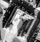
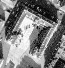
Figure b) Obtained DEM, provided by IGN.
|