Département: Alpes Maritimes (06)
Commune: Caussols
Massif: Plateau de Calern
Inventaire: 37-K7
Altitude de l'entrée haute: Z= 1375
Coordonnées: Lambert Zone III: X=966,800 Y=171,830
Profondeur: -64m
Développement: ~ 200m

Inventeur: SIS
Exploration et topographie: SIS, et divers clubs 06
Bibliographie:
        SIS pieds sous terre #1
![]()
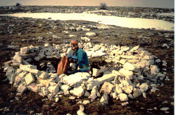
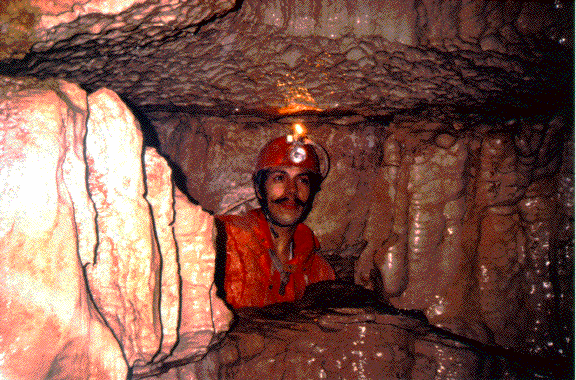
Quelques Photos:
L'entrée
La lucarne
Description, Historique, et Fiche d'équipement
We now have a good knowledge of the eastern part of Calern: the parallel systems of the Baoudillouns and the Calernaum are both close to 500m in depth and respectively 6 and 9 kms in development. They receive the waters of more or less a third of the surface of the Plateau de Calern, and their 3 parallel rivers are very likely to emerge together at the "Fontaine des Fontaniers", near Cipière, at the NE corner of the plateau.
On the other side, very little is known of the western part, apart for a
handful of small and shallow caves.
The Aven du Thym, during the 1994 winter, was the
only entrance we have seen open despite of the 3 feet of snow. And after
2 years of digging on this cave, we are still following its strong draft
through a succession of very tight passages. Two years of work, close to
60 sessions, for 200m of development, and a little more than 60m of depth!
We are convinced, of course, that this will be the opening to the big system
that waiting for us underneath, and that collect twice as much water as
the combined Baoudillouns and Calernaum.