|
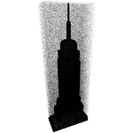
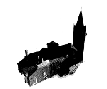
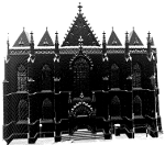
We focus here on the well-known surface reconstruction problem from point
clouds. The datasets include simple synthetic objects, but also real-world
urban scenes containing various types of geometric structures. The file format for both point clouds and triangular meshes
is
ply. The software
Meshlab can be used to read and convert these files.
Evaluation of the results:
The results are evaluated according to the error to the ground truth
and/or the input point cloud (Hausdorff distance), and time. Meshlab can
be used to compute the Hausdorff distance between your results and the
given input point clouds / reference meshes. |