

A first classification done on this SPOT image of the Var region (FRANCE) shows mistakes in the vineyards classification,
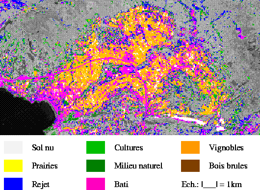
The extraction and the processing of the vineyard class mask, with our method, allows us to separate this class in three classes : vineyards, bare soil, urban zone.
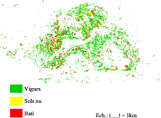
This post-classification of the mask has been re-introduced inside the original classification. Post-classed pixels are exactly connected with those that have already been classified.
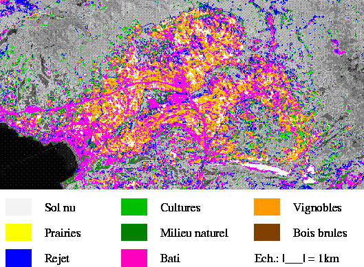
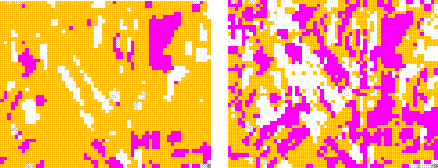
Before the post-classification - After the post-classification.
This comparison (before-after) shows that the classes that we have identified as "urban zone" or "bare soil" are connected with the same existing classes.
You can see the computation of Alep pines planting density